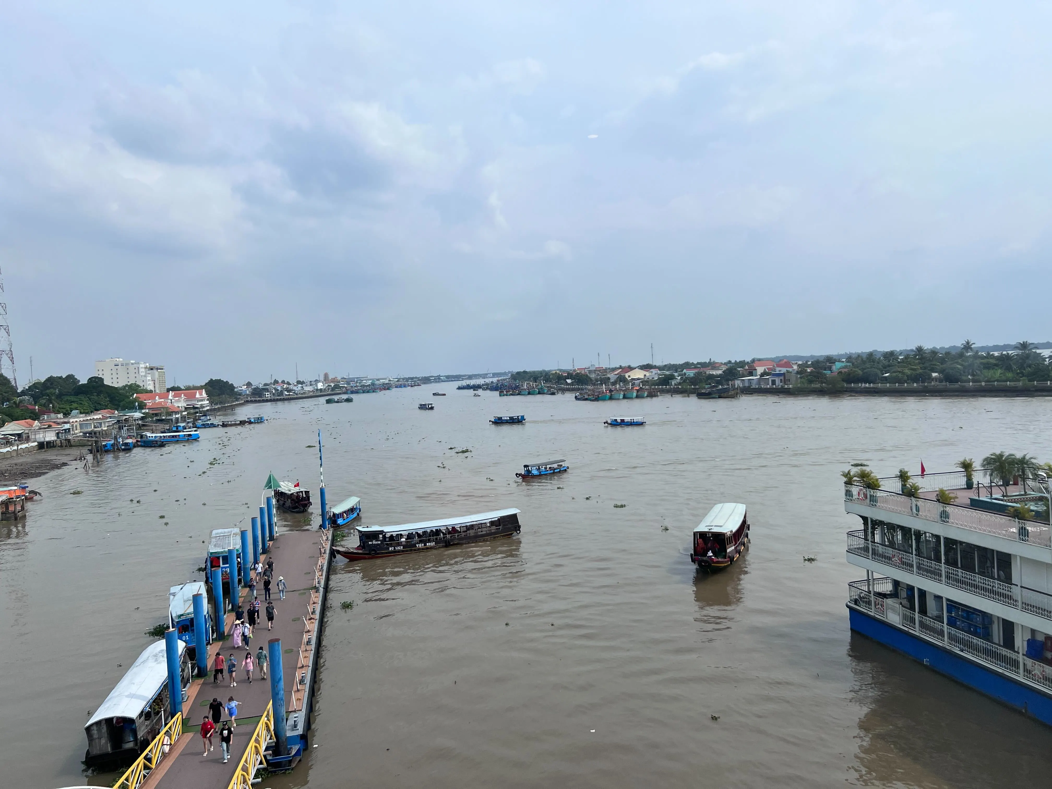
Tra Vinh
Tra Vinh is located at the end of an islet, lying between the Tien River and the Hau River. The terrain is predominantly flat, with elevations of less than 1 meter above sea level. As a coastal delta region, Tra Vinh features numerous sand ridges running along the coastline, forming parallel curved lines. The closer these sand ridges are to the sea, the higher and wider they become.
Due to the division created by the sand ridges and the network of roads, canals, and waterways, Tra Vinh’s terrain is relatively complex. Low-lying areas are interspersed between higher sand ridges, and slopes are noticeable only within individual fields. In particular, the southern part of the province consists of low-lying land, segmented by arc-shaped sand ridges into many small depressed areas, with elevations of only 0.5–0.8 meters. As a result, this area is often affected by saltwater intrusion for three to five months each year.
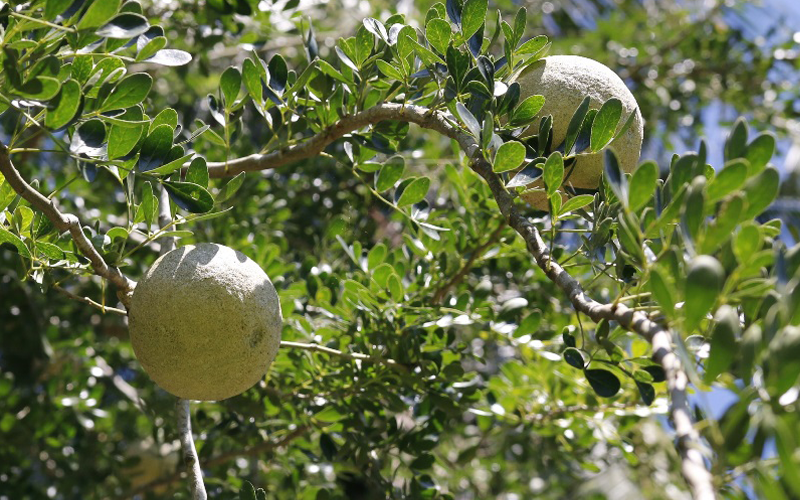
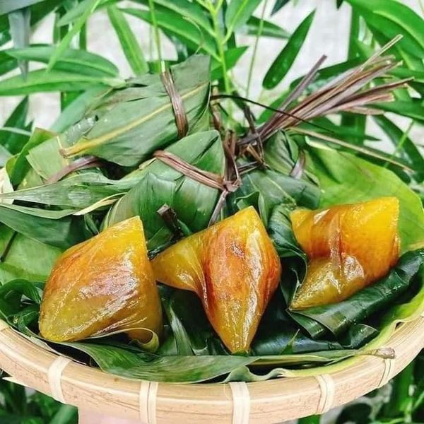
The unique taste of the quince fruit from Tra Vinh
tra vinh
The Southwestern region of Vietnam is famous for its fertile land and abundant fruits. Each area has its own specialty: Cai Be is known for its sweet tangerines, Vinh Kim for its blacksmith village star apples, while Tra Vinh is renowned for the quach fruit. If you are someone who loves nostalgia, who enjoys traveling...
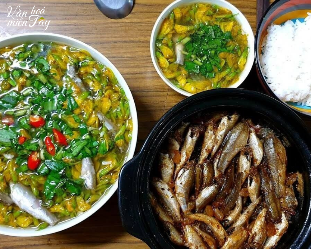
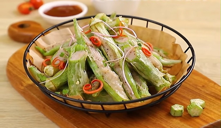
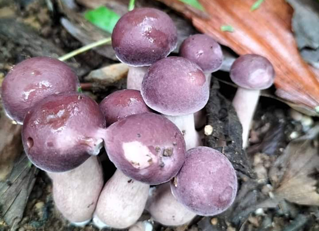
Visit Ba Dong, Tra Vinh to enjoy Chu U
tra vinh
If you ever have a chance to visit Trà Vinh, especially Ba Động — a coastal area blessed with abundant natural beauty — don’t forget to enjoy dishes made from a local crustacean known in folk language as “chù ụ.” The name “chù ụ” likely comes from its somewhat clumsy appearance, with a grumpy-looking face....
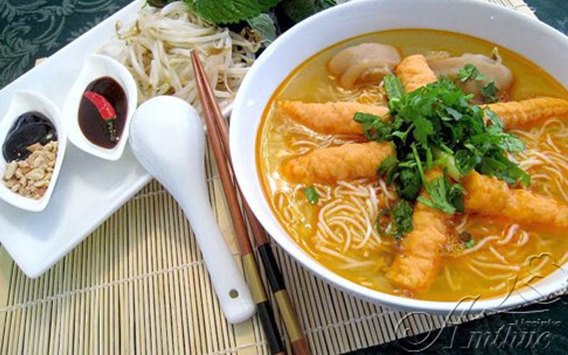
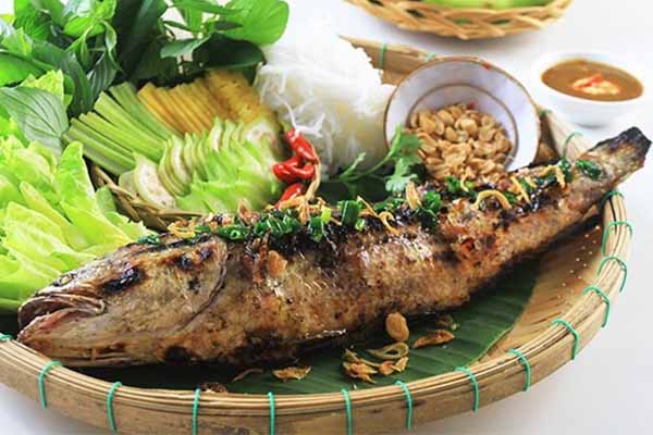
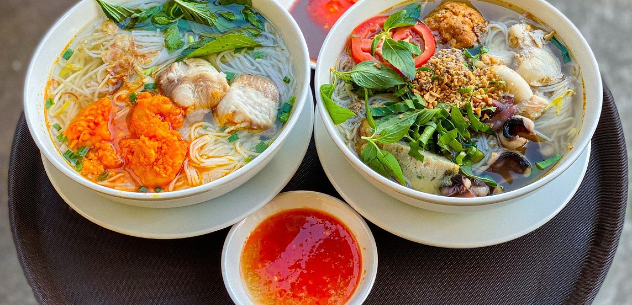
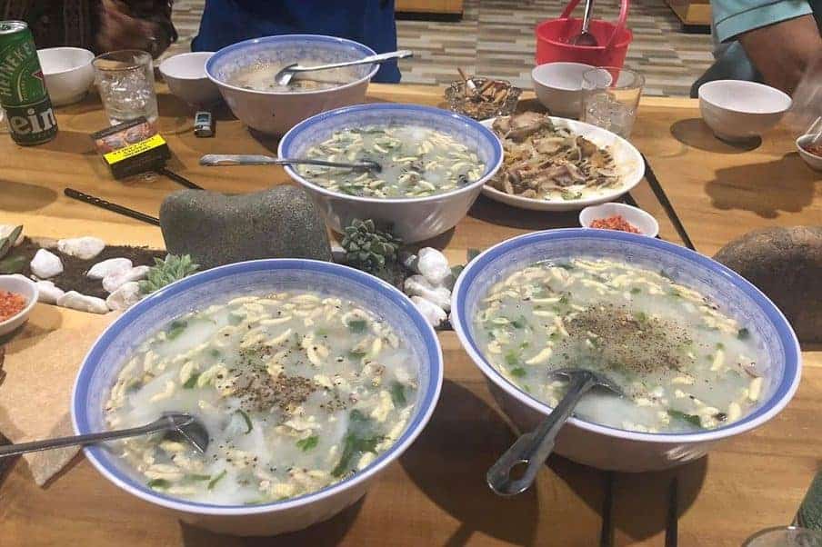
Delicious and unique: Bun Suong, Tra Vinh
tra vinh
Anyone visiting Tra Vinh will have the chance to enjoy a rustic noodle dish – Bun Suong, one of Vietnam’s 10 famous specialty dishes that achieved Asian culinary value. Bun Suong is also known as Bun Duong; this noodle soup originates from Tra Vinh. “Suong” is a type of shrimp sausage (called shrimp suong); some...